

Aberdeen survey company laser-focused on further growth
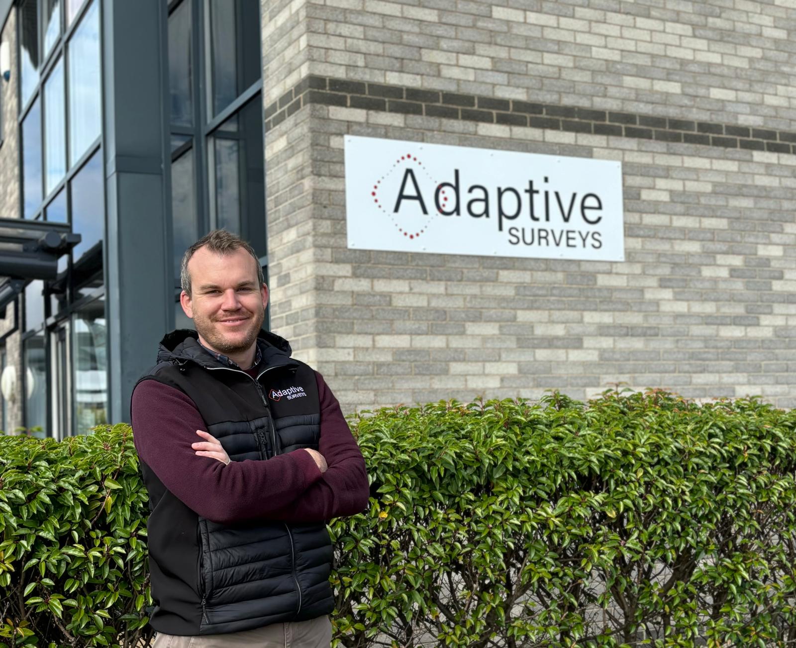
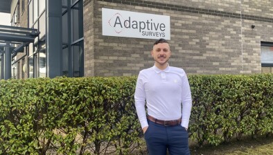
Adaptive Survey’s founder Jamie Watt is aiming to triple the company’s revenue
Land and measured building survey specialist Adaptive Surveys, which has more than tripled in size since launching three years ago, is aiming to repeat this trajectory following a successful first half of the year in 2024.
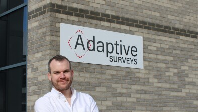
The company, based in Westhill, was founded by Jamie Watt, a chartered surveyor with more than 20 years of experience, who saw a gap in the market to use the latest laser scanning and 3D modelling technologies to support the energy, infrastructure, construction, and utilities sectors.
Since launching in 2022, Adaptive Surveys has seen year-on-year growth of 46% and is expecting to achieve further year-on-year growth of 60% by the end of this year. In the last three months alone, it has secured contracts totalling more than £200,000 with energy, infrastructure, and distillery companies and expects to achieve a turnover in excess of £1 million by 2025. Adaptive Survey’s team has also grown from three employees in 2022 to now having a team of nine.

Jamie admits he didn’t expect the company to grow as quickly as it has.
He said: “When I launched the company, I knew there was an opportunity to provide construction and maintenance projects with faster, more accurate insights into their asset or site by using the latest laser scanning and point cloud technology, but I didn’t expect the demand for our services to be as great as it has been.
“The combination of the team’s surveying experience and the breadth of our services appeal to our clients. They trust that we have the right solutions for their projects. As we look ahead, we’re focused on growing our team and continuing to support clients throughout Scotland and across Europe.”
Adaptive Surveys use laser scanning and point cloud technology to build highly accurate 2D and 3D models in less time than traditional methods. These can be used to reduce project delivery times and risks during maintenance or construction projects.


Recent contacts secured include working with a North Sea operator to create a highly detailed model, known as digital twin, of one of their assets to support future maintenance and planning, and supporting whisky distillery to create full drawings, P&IDs and 3D models of their Jura distillery. Elsewhere, they are working with a leading road maintenance and management company to survey a steep roadside slope in the highlands by using drones to scan the slope to monitor its stability.
The latest laser scanning technology builds a comprehensive dataset of the scanned environment by capturing billions of individually measurable points across a standard survey. The models provide clients with an ‘as-is’ model of the scanned structure rather than engineers relying on outdated ‘as-built’ drawings that don’t show any of the modifications that may have been made.