


Public consultation being launched on Cumbrae
North Ayrshire Council is launching a public consultation on the timing of construction works that are part of an Isle of Cumbrae flood protection scheme.
Many homes and businesses within Millport in are at risk of flooding from the Mill Burn, especially along Crawford Street, Cardiff Street and Golf Road and the council is currently developing Mill Burn Flood Protection Scheme to reduce this risk.
In a bid to identify residents’ preferred way forward for the flood scheme to minimise disruption, the council is seeking views on the proposals - which include a temporary road closure on West Bay Road.


The aim of the consultation is to gather residents’ opinions on whether the road closure should take place during summer or winter months, and to share information about the wider flood protection scheme works.
A programme of public consultation is being launched that will include:
- An online questionnaire, which is open from 31 March until 30 April and can be filled in here
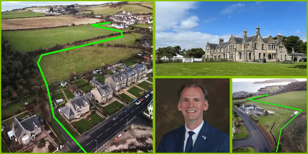
- An exhibition of the scheme’s plans – including maps, photos and video footage - at Garrison House in College Street, Millport, from 31 March to 26 April between 10am and 4pm. Residents can also fill in survey questionnaires at the venue
- A public information drop-in session with Council staff at Garrison House on 16 April from 9am to 5pm and
- Information leaflets, including the survey link, being delivered to residents’ homes and businesses on the island in the week leading up to the exhibition.
The council would like to hear from anyone who lives or works on the island, owns a local business, is involved in a community group or owns land.


Councillor Tony Gurney, cabinet member for Green Environment and Economy, said: “We want to engage with as many people on the island as possible to gauge their opinions, and I would encourage islanders to get involved. If these works could, potentially, have an impact on you, your family life or your business then please fill in the survey. It is vital to us, as a local authority, that these works are carried out with minimal disruption to the community during construction.”
As part of the flood protection scheme, a new sea defence wall will be built along West Bay Road. A 494m long x 900mm diameter overflow culvert to alleviate the volume of water passing through the existing Mill Burn at high flows will discharge water through this wall onto the beach.
The new wall will run from Cozy Corner to the beach access ramp in the west corner of the bay over a distance of 57 metres.
To enable the construction of this sea defence wall, West Bay Road will need to be closed to vehicles for the duration of the wall construction works.


The closure of West Bay Road is required to excavate the area for the installation of the sea wall precast concrete units and to provide sufficient a safe working space for a lifting crane and delivery vehicles.
Traffic management will be in place to allow pedestrians and cyclists to continue travelling along West Bay Road.
The road closure is anticipated to be in place for 10 to 12 weeks, and access for emergency vehicles will be maintained at all times.
One option being considered is for the works to start in September 2025, with West Bay Road being shut throughout the winter months of 2025/26. The diversion route for vehicles will be on the B896 around the island.


The second option is for works to start in April 2026, with the road closure being in place during the summer months of 2026.