Scottish IoT project aims to consign rocky rural roads to history
A consortium of research partners in Scotland could help solve the perennial problems facing the UK’s transport infrastructure, with the development of an internet of things (IoT) sensor network that provides real-time monitoring of rural road conditions.
DigiFlec, a start-up based in Dunfermline, is working with CENSIS – Scotland’s innovation centre for sensors, imaging systems, and IoT technologies – and Forestry and Land Scotland (FLS) as part of the Scottish Government’s CivTech 6 Accelerator Programme to develop a digital transport network management interface.
The initiative combines the digital mapping of the road network alongside IoT-enabled sensors deployed to capture live data about the condition of the FLS road network. The data includes readings on temperature, moisture in the road, and potential culvert blockages.
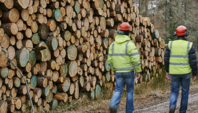
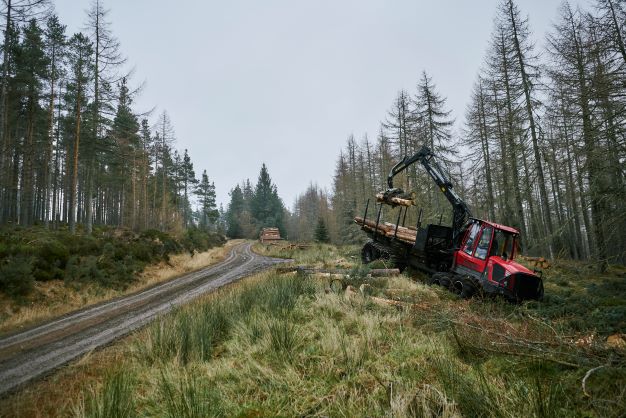
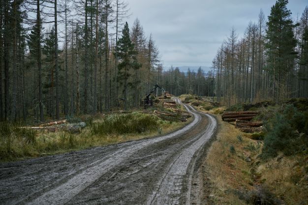
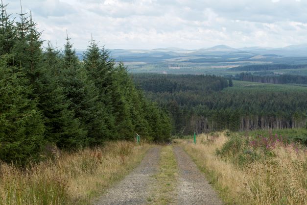
FLS has a 10,000 kilometre road network covering some of the most remote areas in Scotland, largely made up of unsealed roads that become weaker when wet and can be easily damaged by flooding. Having accurate real-time information about conditions will allow better informed decisions about road use at particular times. IoT sensors have so far been deployed in test locations on roads in Blairadam and Auchineden to gather and transmit information about the road.
The data will be integrated into a digital interface that displays the data in real time, as well as any long-term changes to the road’s condition. This will enable better maintenance scheduling and, ultimately, provide greater knowledge of the factors that impact a road’s deterioration, allowing decisions to be made to prevent excessive damage and better allocate resources for repair and upgrade work.
Reliable data gathering and the capability to deploy sensors in remote and rural areas could have wider applications for public road network management. Roads currently need to be checked manually, racking up potentially hundreds of miles of travel. While motorways and A roads are inspected annually for defects, B and C class roads are only examined every 4-20 years. Recent reports suggested that the backlog of repairs required for Scotland’s road network could cost as much as £1.7 billion.
Steven Gillan, director at DigiFlec, said: “Local authorities and landowners currently face a paucity of information about the conditions on their roads. A big part of the reason for that is the time and costs involved in gathering data. This makes it difficult to make good decisions about where to focus efforts, and maximise time, material, and resources.
“Yet, Scotland has a working countryside with everything from heavy industry to the hospitality sector using roads alongside residents. The road system needs to serve all of those sectors’ needs whilst being usable for communities going about their day-to-day lives. Our system allows the people managing roads to better understand their condition, which is key to making road infrastructure a better experience for everyone.
“So far, we have demonstrated what is required is feasible and we have moved into the pre-commercial phase of the digital interface with a rural and remote road network. Such a system could support a more smoothly functioning working countryside and also help us to make best use of our resources. In this way, we are trying to be good ancestors, and develop a considerate relationship with our land.”
Josh Roberts, innovation manager at Forestry and Land Scotland, commented: “At the moment, to plan maintenance and check the condition of our road network we need to survey and inspect our roads by physically driving into the forest to check its condition and level of deterioration since our last site visit.
“With trips sometimes involving hundreds of miles of travel, this takes up a good deal of time and resources. These sensors will mean we have invaluable, up-to-date information at our fingertips regarding the condition of our road network and forewarning us of any developing issues.
“This technology will give us the ability to allocate the right resources to the right place and at the right time, and transform how we make best use of our assets and deliver the best value for the public purse.”

CENSIS supported DigiFlec by building IoT capabilities into the sensors and developing a specific non-contact sensor that can detect road temperature without being placed in the concrete, which can weaken the road. The innovation centre also identified the most appropriate sensors to use that would capture the range of data required for the project, helping DigiFlec take the best overall sensing approach.
Rachael Wakefield, business development manager at CENSIS, added: “This CivTech project demonstrates the real difference that IoT, imaging, and sensing technologies can make – particularly when they are combined. The project also shows why IoT sensors need to be interoperable and capable of bringing together lots of different types of data, with great examples of dynamic sensor data, bringing digital models to life. These types of applications will become more relevant as automation of the wider road network takes place.”


